| Area |
Regional |
| Topic |
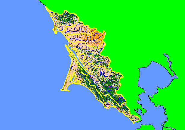
Map: 1G. EPA Landcover/Landuse, West Marin-Sonoma |
|
This is a map of the EPA Landcover/Landuse in the KRIS West Marin-Sonoma project area based on a 1992 Landsat image. The
large areas of Non-Forest in the west and central portions of the project area are grassy coastal plains and pasture. The eastern
areas are extensively used for agriculture. Coniferous forest and mixed forest dominate the southern portion of the KRIS West
Marin-Sonoma project area around Mt. Tamalpais and extending along the western part of Tomales Bay. Hot pink shows
residential development around Inverness, Bolinas, Stinson Beach and San Geronimo.
|
|
|
 |
 |
To view metadata about a map layer, click on a link in the table below.
| Name of Layer in Map Legend | Metadata File Name |
|---|
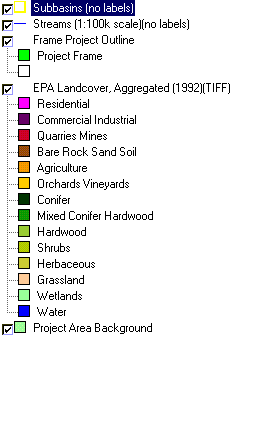
| Subbasins (no labels) | subbasins.shp.txt |
| Streams (1:100k scale)(no labels) | streams100.shp.txt |
| Frame Project Outline | Unavailable |
| EPA Landcover, Aggregated (1992)(TIFF) | lndcov2.tif.txt |
| EPA Landcover, Unaggregated (1992)(TIFF) | lndcov.tif.txt |
| Topo Map, North (1:24k scale) | Unavailable |
| Topo Map, South (1:24k scale) | Unavailable |
| Project Area Background | Unavailable |