| Area |
Coastal Tributaries North |
| Topic |
Tour: 4. Alder Creek January 2003 |
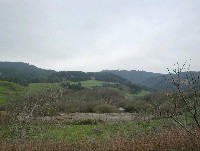 Click on image to enlarge (28K). Click here to display a larger version (184K).
This photo shows a large gravel terrace in lower Alder Creek above Highway 1 after large storm events in December 2002. Photo by Pat Higgins. January 2003.
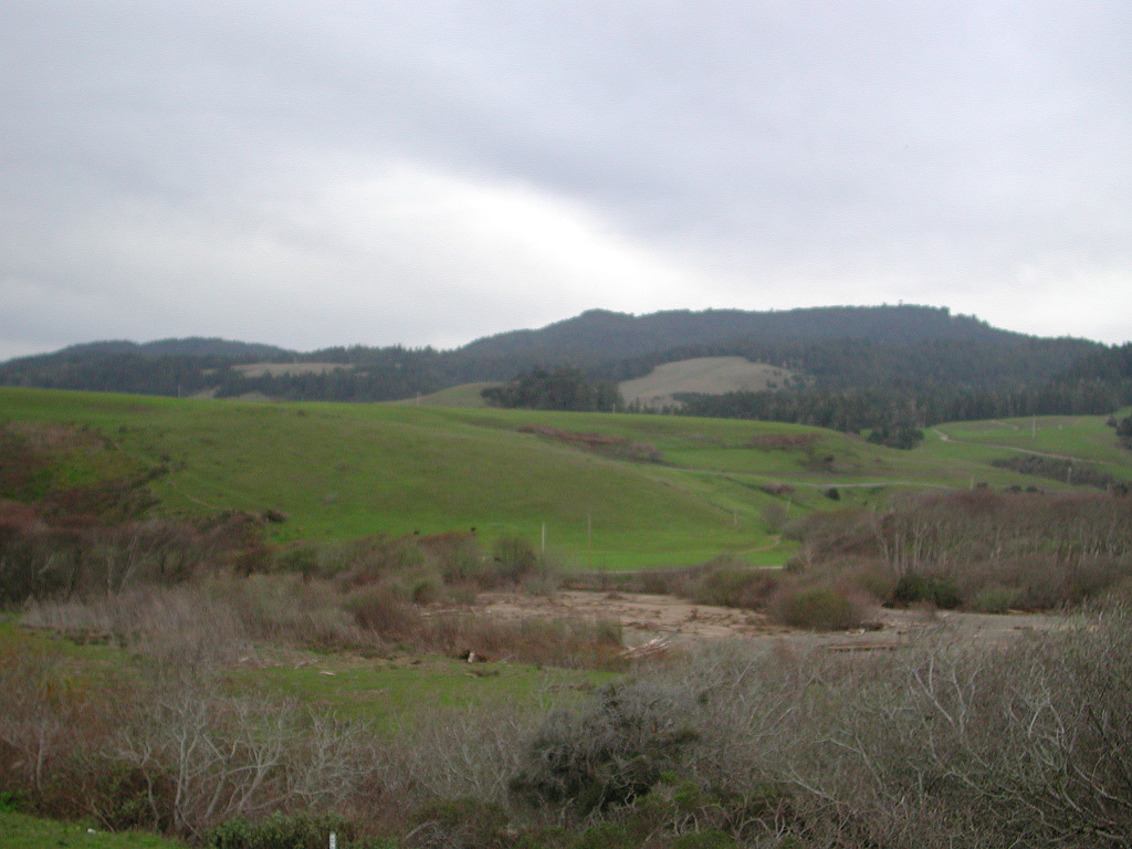
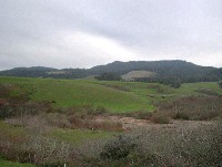 Click on image to enlarge (24K). Click here to display a larger version (191K).
This another shot of Alder Creek taken from slightly up hill, which also shows the gravel terrace. Photo by Pat Higgins. January 2003.
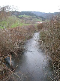 Click on image to enlarge (157K).
Alder Creek is shown here as seen from the Highway 1 Bridge. The photo was taken looking upstream. Photo by Pat Higgins. January 2003.
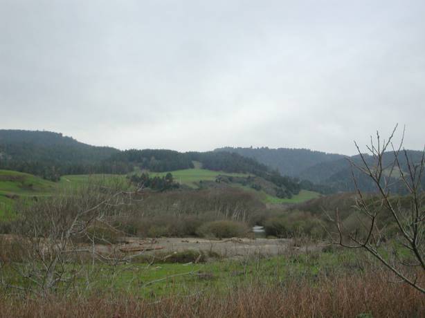
 Click on image to enlarge (147K).
This photo shows Alder Creek looking downstream from the Highway 1 Bridge. Photo by Pat Higgins. January 2003.
 Click on image to enlarge (134K).
Alder Creek is just outside the view to the right in this photo taken looking east from Highway 1. The berm at right was constructed to confine Alder Creek, which has a history of flooding since January 1995. The aggraded stream bed has made the berming necessary to maintain agricultural productivity. Photo by Pat Higgins. January 2003.
To learn more about this topic click Info Links
To view additional information (data source, aquisition date etc.) about this page, click Metadata

 Click on image to enlarge (28K). Click here to display a larger version (184K).
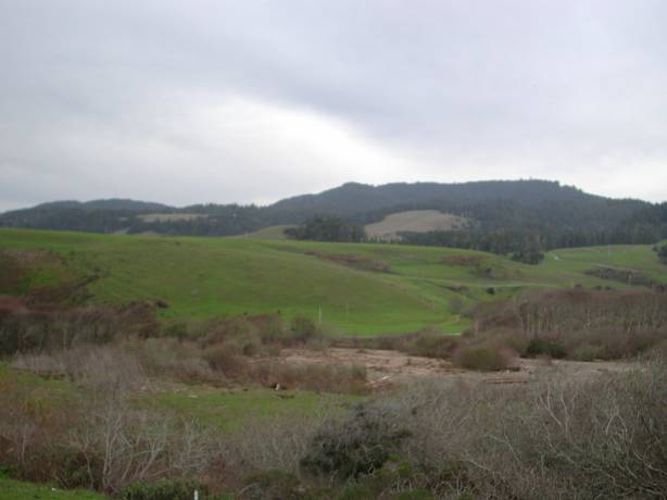 Click on image to enlarge (24K). Click here to display a larger version (191K).
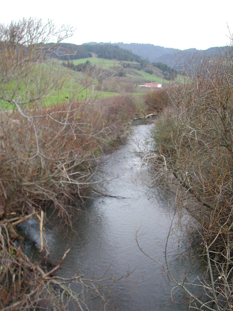 Click on image to enlarge (157K).
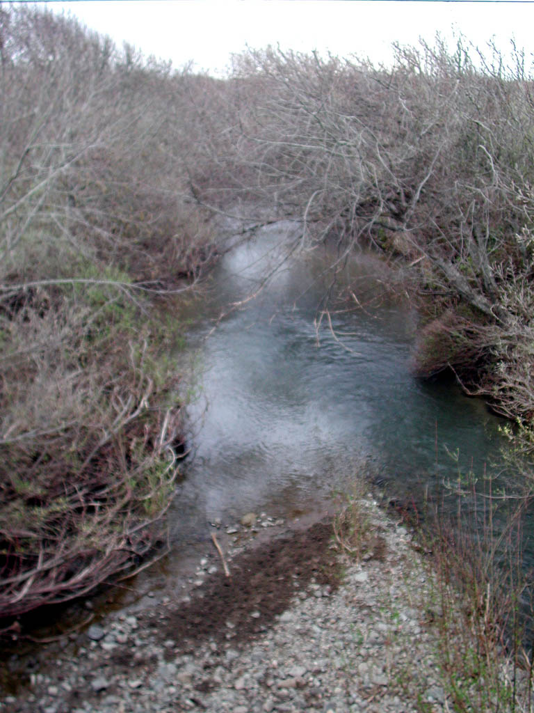 Click on image to enlarge (147K).
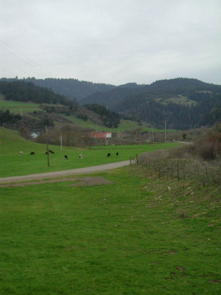 Click on image to enlarge (134K).
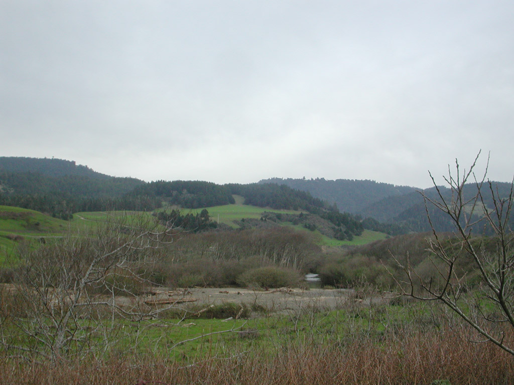