| Basin |
Humboldt Bay |
| Caption |
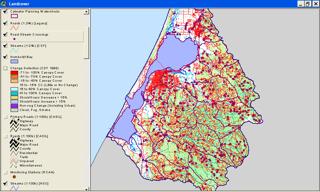
This is a map image of all Humboldt Bay Calwater Planning Watersheds with roads and stream crossings. See map topics for zoom capability. |
| CaptionTemplate |
[Description] |
| Description |
This is a map image of all Humboldt Bay Calwater Planning Watersheds with roads and stream crossings. See map topics for zoom capability. |
| Filename |
roads_hum_bay_2000.gif |
| Filesize |
94016 |
| Meta_Id |
HB_Roads |
| Notefile |
humbay.htm#ROADS |
| Path |
topics/bw/roads_hum_bay_2000.gif |
| Series |
GIS: Roads in Humboldt Bay Sub-Basins 2000 |
| SubBasin |
Basin-wide/Regional |