
|
Area/Topic | Bibliography | Background | Hypotheses | Home |
|
Map Page.
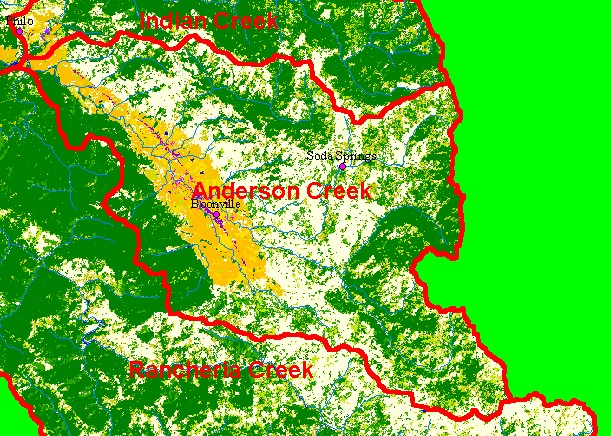
You selected the area Anderson Creek and the topic Map: 1D EPA Landcover/Landuse, Anderson Creek Sub-basin |
| This is a map of the 1992 EPA Landcover/Landuse in the Anderson Creek sub-basin, displayed with USGS 1:100,000 scale streams. Mixed conifer/hardwood forest and Grassland signatures in much of the basin denotes vegetation associated with Central Belt Franciscan terrain. Agricultural areas in Anderson Valley and development along Highway 128 are also visible. Data provided by the U.S. Environmental Protection Agency. Scale = 1:130,797 . | |||
|
|
||
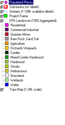
To view metadata about a map layer, click on a link in the table below.
| Name of Layer in Map Legend | Metadata File Name |
|---|---|
| Populated Places | pop_places24.shp.txt |
| Sub-basins (w/ labels) | subbasins.shp.txt |
| Streams (1:100k scale)(no labels) | streams100.shp.txt |
| Project Frame | Unavailable |
| EPA Landcover (1992 Aggregated) | lndcov2.tif.txt |
| EPA Landcover (1992) | lndcov.tif.txt |
| Topo Map (1:24k scale) | Unavailable |
| www.krisweb.com |