Photo Pages. Photos on this page are from sub-basin Dyer River
and series Tour- Dyer River Sub-basin.
Click on any thumbnail to see a larger photo.
For detailed information on these photos click here.
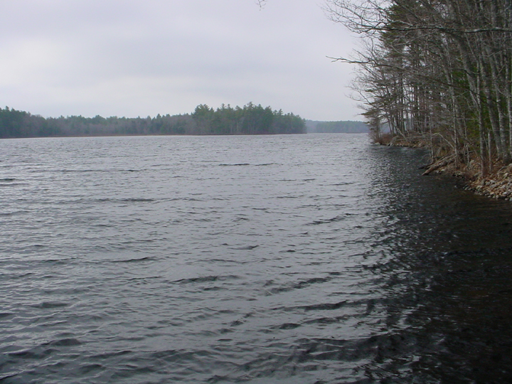
370 KB
This is a photo taken at the boat landing on Dyer Long Pond looking down towards the outlet. Photo by M. Laser.
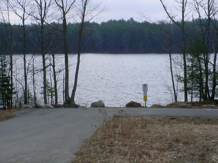
439 KB
This is a photo of the boat landing on Dyer Long Pond. Photo by M. Laser.
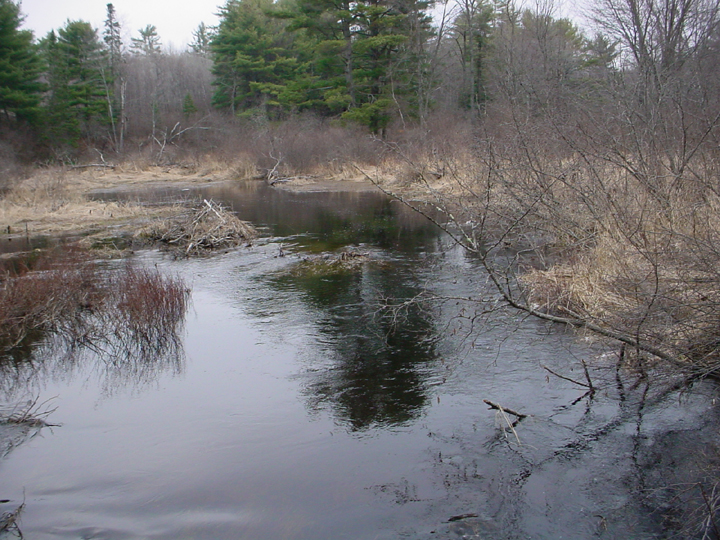
421 KB
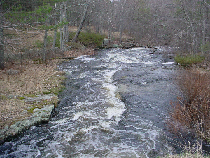
This is a photo looking upstream from the Route 215 bridge in Jefferson in April 2004. Picture taken by M. Laser.
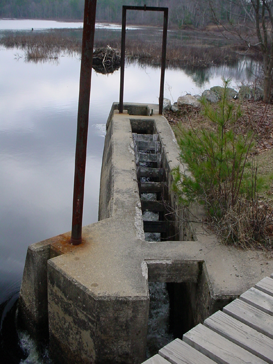
385 KB
This is a photo of the fish ladder at the Dyer Long Pond Dam. Photo taken by M. Laser.
475 KB
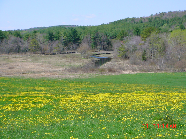
This is a photo looking downstream from the outlet of Dyer Long Pond. Picture taken by M. Laser.
479 KB
This is a photo of the Dyer River taken from Route 194 in Whitefield looking downstream at the river. The photo was taken in April 2002. Picture taken by M. Laser.
331 KB
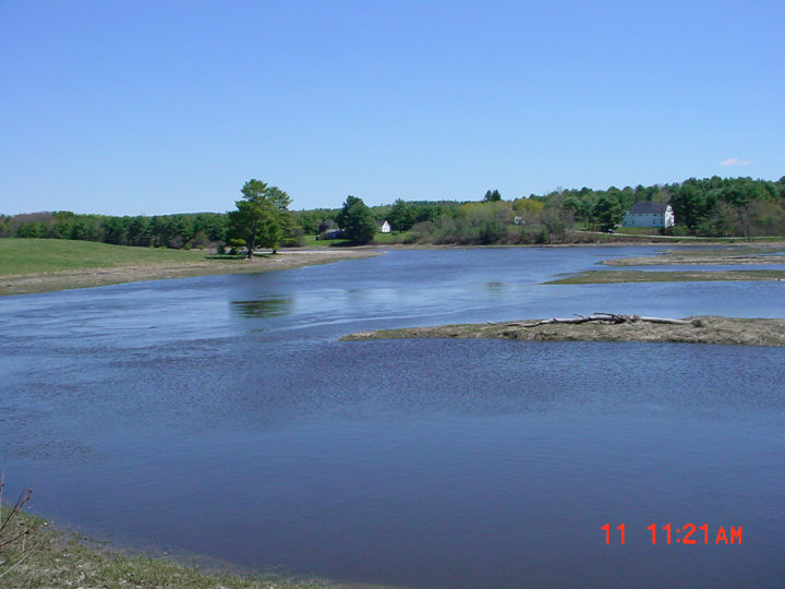
This is a photo looking upstream at the Dyer River from the junction with the Sheepscot River in Sheepscot Village taken in 2002. Picture taken by M. Laser.
 439 KB
 421 KB
 385 KB
 475 KB
 479 KB
 331 KB