Photo Pages. Photos on this page are from sub-basin Mainstem Sheepscot
and series Tour- Sheepscot R. below North Whitefield 2004.
Click on any thumbnail to see a larger photo.
For detailed information on these photos click here.
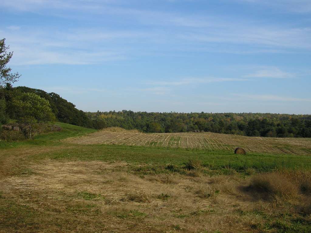
81 KB
This photograph shows a harvested cornfield with a hayfield in foreground. The photograph was taken from Highway 218 (East River Road) near the Sheepscot River and between Whitefield and North Whitefield. This site is located in the Mainstem Sheepscot sub-basin. Photograph was taken by Eli Asarian on 10/8/2004.
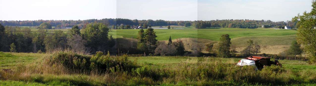
67 KB
This panoramic compilation of photographs looks west from Highway 218 (East River Road) toward the Sheepscot River. The riparian area in the foreground is an un-named tributary to the Sheepscot River. This area is located between Whitefield and North Whitefield. This site is located in the Mainstem Sheepscot sub-basin. Photograph was taken by Eli Asarian on 10/8/2004.
 67 KB
67 KB