

|
Area/Topic | Bibliography | Background | Hypotheses | Home |
|
Map Page.
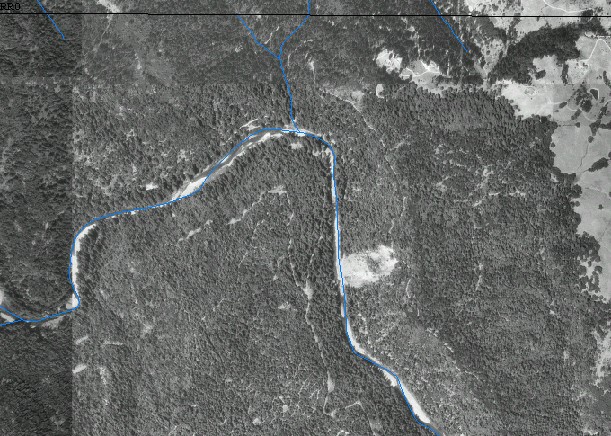
You selected the area Mainstem and the topic Stream Channel: Longitudinal Profile of Floodgate Landslide 1995-99 |
| This is a map showing the Floodgate Slide in the center right of the digital orthophoto quarter-quadrangle (DOQ) in the Mainstem Navarro sub-basin. | |||
|
|
||
To view metadata about a map layer, click on a link in the table below.
| Name of Layer in Map Legend | Metadata File Name |
|---|---|
| Quad Index | quad_index.shp.txt |
| Streams (1:24k scale) | streams24.shp.txt |
| Project Frame Outline | Unavailable |
| Alb_Elk.sid | alb_elk.sid.txt |
| BaileyRidge.sid | baileyridge.sid.txt |
| Gubemtn.sid | gubemtn.sid.txt |
| Navar_ColdSp.sid | navar_coldsp.sid.txt |
| Ornbaun.sid | ornbaun.sid.txt |
| orrs_springs_sw.sid | orrs_springs_sw.sid.txt |
| Philo.sid | philo.sid.txt |
| ZeniRidge.sid | zeniridge.sid.txt |
| Topo Map (1:24k scale) | Unavailable |
| www.krisweb.com |