| Area |
Basin-wide/Regional |
| Topic |
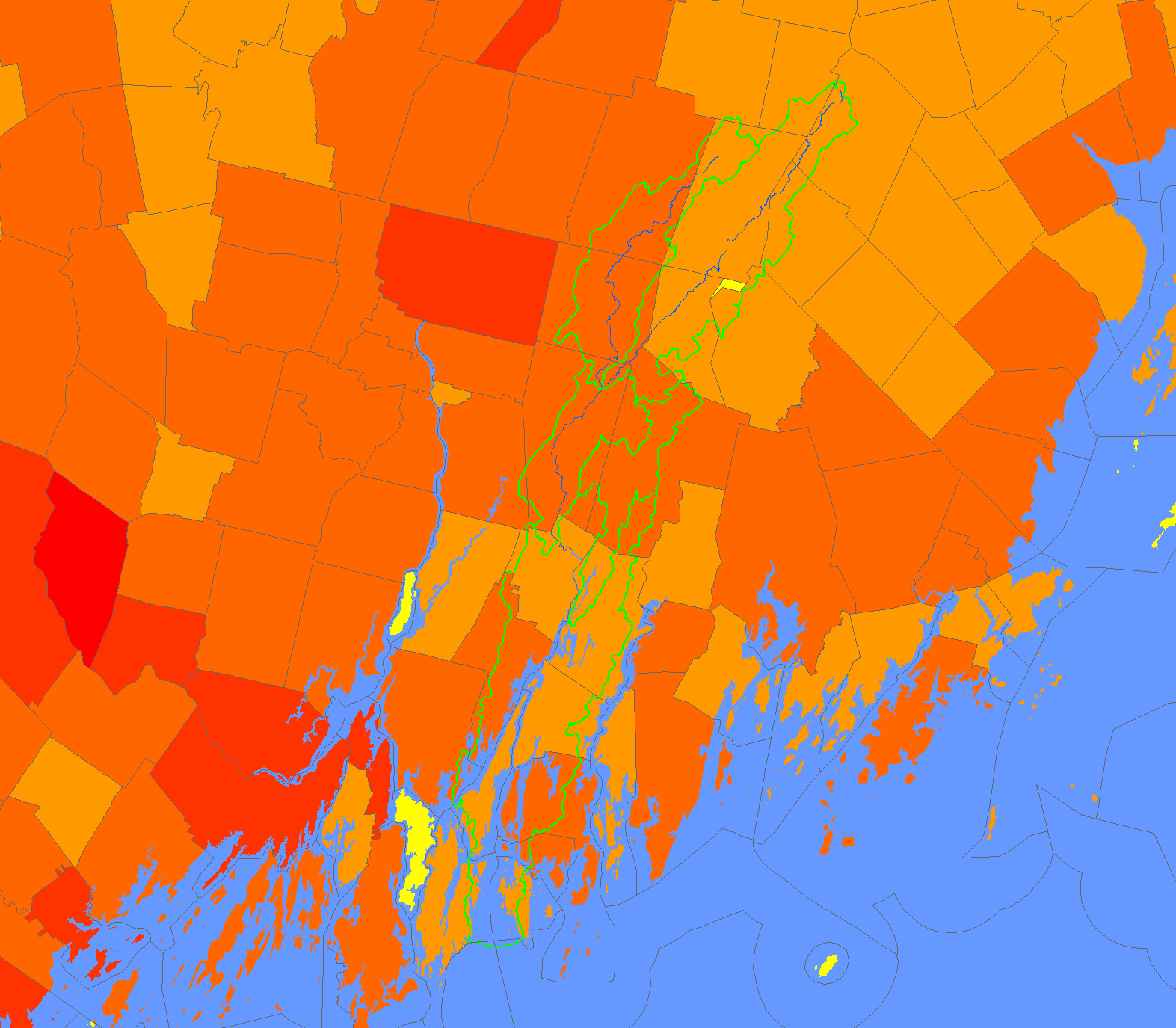
Map: 1I. Human Population by Township, Sheepscot Watershed |
|
This map shows the human population by township in the Sheepscot River watershed and surrounding areas for the year 2000, displayed with KRIS
sub-basins and the Sheepscot River. Data were provided by the U.S. Department of Commerce (USDOC), Bureau of the Census (USCB), and Maine
Office of Geographic Information Systems (MEGIS).
|
|
|
 |
 |
To view metadata about a map layer, click on a link in the table below.
If you obtain KRIS on a CD and install it on your hard drive as a desktop program, you will have access to increased map capabilities such as zooming in/out, turning layers on/off, adding layers and changing legends.