
| Area | Mainstem Sheepscot |
| Topic | Tour: 1950 Photos of the Clary Lake (Pleasant Pond) Outlet |
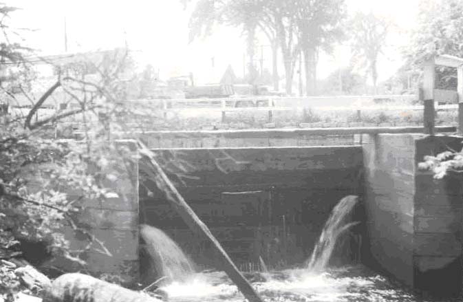
Cleary Brook (Tributary to Sheepscot River). Flood control outlet of lower Chase's Mill Pond looking upstream. June 20, 1950.
Cleary Brook, tributary to Sheepscot River at 11.5 miles above Alna Bridge. Chase Lumber Mill and lower mill pond from road bridge. Power inlet under mill; flood spillway at right. Impassable barrier. Dam approximately l/4 mile above Cleary Brook mouth. Sill operates on a 23'6" drop head. June 20, 1950.
Cleary Stream, Tributary to Sheepscot R. Control gate between upper and lower ponds at Chases mill, 1/4 mile above mouth. June 20, 1950.
 Click on image to enlarge (52K).
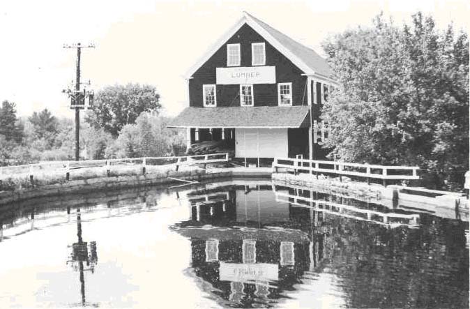 Click on image to enlarge (73K).
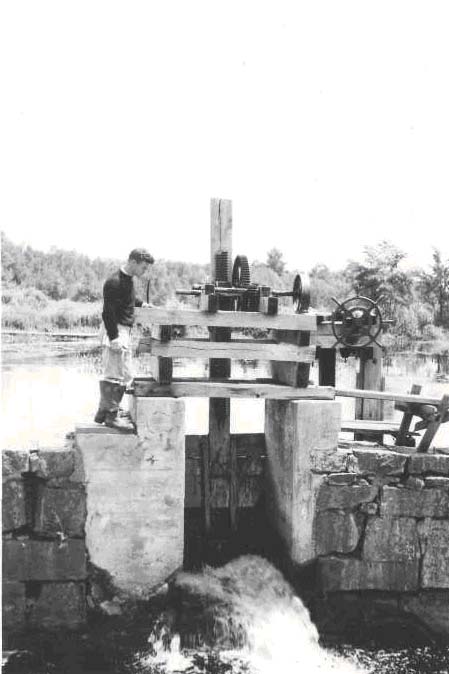 Click on image to enlarge (52K).
To learn more about this topic click Info Links
To view additional information (data source, aquisition date etc.) about this page, click Metadata
| www.krisweb.com |